A proposed boundary change has prompted the City of Melbourne to pressure the State over “the most abused waterway in all of Melbourne”.
At its April 23 meeting, City of Melbourne councillors voted to conditionally support an amendment to the city’s boundary for the Port of Melbourne’s Planning Scheme.
In October, 2021, a declared port area was gazetted—since that time the Port of Melbourne’s Planning Scheme boundaries have not changed to match the gazetted area.
The Victorian Government proposed Amendment GC187 that would allow for the boundaries to line up, and to encompass specific sites within the City of Melbourne’s municipal boundary.
This would then allow BlackRock (through its recent acquistion of Global Infrastructure Partners) and other current shareholders of the Port of Melbourne to continue working on projects on specified sites under the criteria imposed by the Port of Melbourne’s planning scheme.
But City of Melbourne deputy lord mayor Nicholas Reece raised concerns that supporting the amendment fully would create an issue around the Moonee Ponds Creek area.
“I’m concerned that if we work to support that change [it] may hinder progress on some State Government projects we need to see completed around this area,” Reece said.
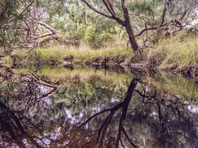
“The Moonee Ponds Creek as we know is a lovely green corridor linking the Royal Park to the Yarra River.
“It also happens to be the most abused waterway in all of Melbourne.
“At the City of Melbourne we have been running a really strong campaign to see that beautiful waterway and that beautiful green corridor reinstated to its former glory.
“That’s why we’ve been calling for the State Government to release the Moonee Ponds Creek Implementation Plan.”
Development Victoria closed the Moonee Ponds Creek shared trail in November, 2020. It is yet to reopen.
▲ Councillors want the Victorian Government to provide dates, plans and funding for reconstructing and opening the Moonee Ponds Creek shared trail.
The State Government has promised a Moonee Ponds Creek Implementation Plan along with funding to help manage flood mitigation, creek protection, management, biodiversity and to reconstruct the Moonee Ponds Creek shared trail within the area.
Melbourne councillors voted unanimously to pass an amended motion to support Amendment GC187 with the exception of the area north of the Yarra River’s south bank and west of the Bolte Bridge.
This area constitutes part of the mouth of the Moonee Ponds Creek.
The amended motion also said that either the council or the Future Melbourne Committee could reconsider the status of the excluded land when the Victorian Government confirmed in writing construction start and end dates for the trail, dates for the publication of the implementation planm and dates for funding guarantees.
Councillors also asked for flood mitigation, creek protection, biodiversity and other objectives that would apply to the land within the Moonee Ponds Creek leased to the Port of Melbourne if it was used for development, including future freight rail projects.
It was also agreed that City of Melbourne chief executive Alison Leighton would write to the Victorian Department of Transport Secretary and Development Victoria to inform them of the council’s decision.
The changes do not only affect the City of Melbourne.
Other councils planning scheme boundaries would be impacted include the City of Hobsons Bay, the City of Maribyrnong and the City of Port Phillip.
The Port of Melbourne is keen to move on projects, such as the future Webb Dock Freight Link that is set out in the Port of Melbourne’s 2050 Port Development Strategy, released in 2020.
It is earmarked for the land that is part of the Moonee Ponds Creek.
City of Melbourne council documents note that Port of Melbourne representatives are willing to work with Development Victoria and the City of Melbourne to reinstate the Moonee Ponds Creek trail.