WA Land Release Clears Way for 76,000 Homes

The future growth of Perth has taken a step forward with more than 5000ha of land released by the Western Australian government for development.
The land could potentially accommodate upwards of 76,000 houses.
The city on the Swan River is already the fourth-largest Australian capital and has the longest urban sprawl in the country, now stretching almost 150km from Two Rocks to Dawesville.
Western Australian planning minister Rita Saffioti announced that several sites previously designated as Planning Investigation Areas across Perth and the Peel region south-west of the city had been determined as suitable for development.
Fifteen Planning Investigation Areas were earmarked for investigation as part of the Perth and Peel at 3.5 million initiative aimed at preventing the urban sprawl increasing, and to encourage development and housing within city limits.
“We must consider more opportunities to maximise the consolidation of future urban development within the bounds of our metropolitan area, preventing further urban sprawl and ensuring that we capitalise on the connectivity that the METRONET program is delivering across Perth,” Saffioti said.
The federal government has committed $3.7 billion towards METRONET projects and to provide infrastructure and services for the growing population, including the recently opened Airport Line.
Outcomes have been determined for 13 of the Planning Investigation Areas with the last two at Jandakot/Treeby and North Ballajura deemed to need further investigation.
Some areas will be selected for residential development, others for industry and environmental protection.
The land is a mix of private and government-owned land.

New communities will be created in select planning investigation areas including North Ballajura, Maida Vale, East of Kwinana and Pinjarra Ravenswood, totalling 5600ha of land and potentially delivering up to 76,000 new homes after development.
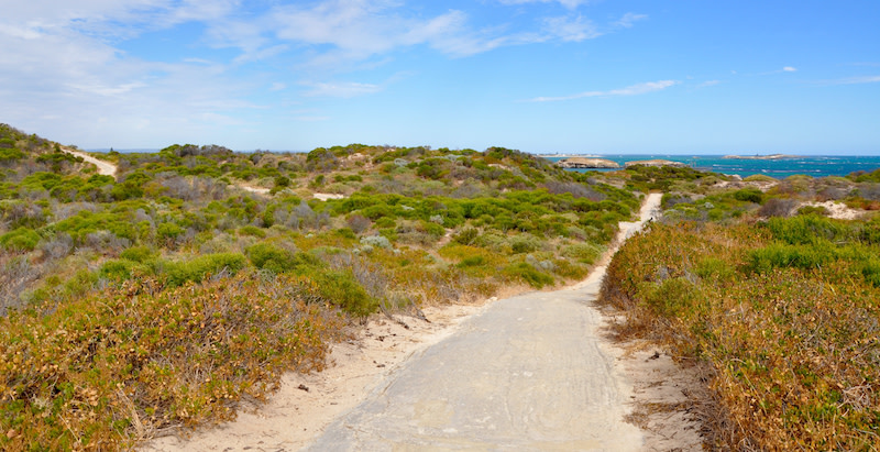
The first stage of a new Class A Reserve at Cape Peron, formerly a planning investigation area, is now under way, as is the second phase of a sustainability and tourism strategy for the area of Pickering Brook and its surrounds.
“In Cape Peron and Pickering Brook, we have worked very closely with community representatives and the respective local governments to ensure that future planning and development outcomes in these locations protect the unique environmental and tourism values,” Saffioti said.
The East Wanneroo District Structure Plan released in August last year addressed three more planning investigation areas: East Gnangara, East Gnangara (Gnangara Road) and Wanneroo.
Work is under way on the two other planning investigation areas on the Jandakot and Gnangara water mounds.
The final determination for land use for an area at North Bennett Springs around Marshall Road will be confirmed in the next few weeks.
The Perth and Peel region has an infill target for each local government area of 47 per cent by the year 2050.


